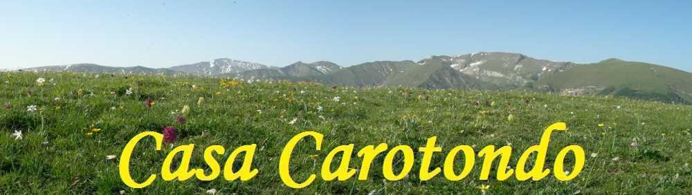
Casa Carotondo an ideal location for a walking holiday
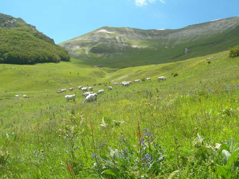
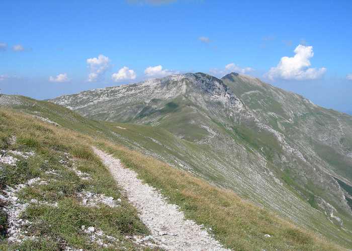
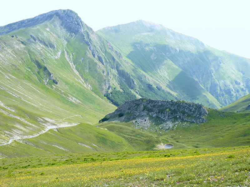
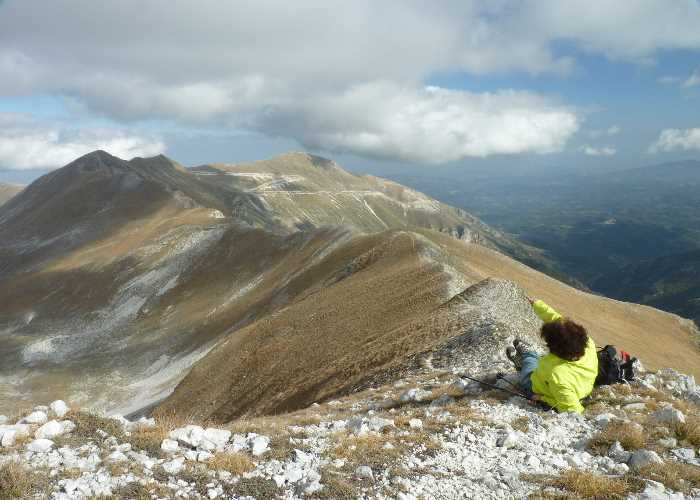
Casa Carotondo is the ideal base for a walking holiday in the Sibillini Mountains. The apartments are located within easy reach of several classic routes such as Tre Vescovi, Golla dell'Infernacio or Grotto dei Frati in the mountains. We have both done a lot of walking in the Sibillini Mountains and can help you, if you wish, with route planning.
The woodland area around Casa Carotondo is good for short walks of 1-2 hours. There are a number of walking routes around the town of Sarnano. They are described in English on several websites such as Komoot. They are a good way of getting to know the area around Sarnano.